旅行のとも、ZenTech >
海外旅行 地図 >
オセアニア地図 >
北マリアナ諸島地図
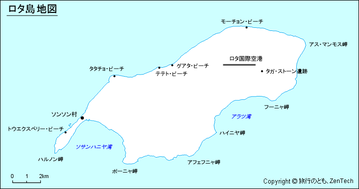
ロタ島地図
ロタ島(Rota Island、チャモロ語:Luta)は、「フレンドリー・アイランド」としても知られ、北マリアナ諸島連邦(CNMI)の最南端の島であり、マリアナ諸島で 3番目に南に位置する島(1番目はココス島(Cocos Island、グアム島の属島))。初期のスペインの記録では「Zarpana」と呼ばれています。ロタという島名はスペイン人がスペインのアンダルシア州ロタに因んで名付けとも考えられています。ロタ島は、米国領グアムの北北東約 40海里(74キロメートル)に位置します。シナパロ村(Sinapalo、人口 1,297人(2012年時点))が最大で人口が最も多く、次にソンソン村(Songsong、人口 593人(2000年時点))が続きます。ロタ島は、北マリアナ諸島連邦の 4つの市町村の 1つとしても機能しています。
ロタ島地図(Map of Rota Island, Northern Mariana Islands):日本語表記

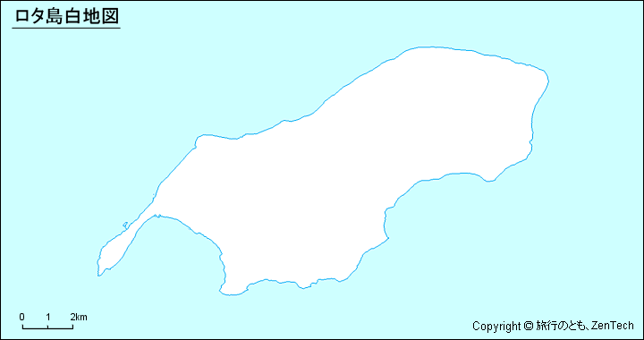
ロタ島白地図(Outline Map of Rota Island)

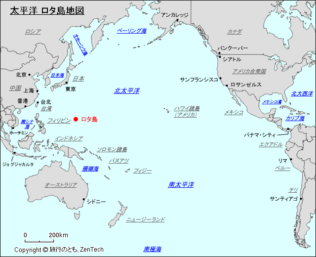
太平洋におけるロタ島の場所が判る地図(Map of Rota Island, Pacific Ocean)
地図サイズ:640ピクセル X 520ピクセル
ロタ島 地図(Google Map of Rota Island, Northern Mariana Islands, United States)
ページ先頭(北マリアナ諸島:ロタ島地図)へもどる
 トップページへ移動する。
Copyright © 1997-2026 ZenTech. All Rights Reserved


